Pastāsti draugiem par šo preci:
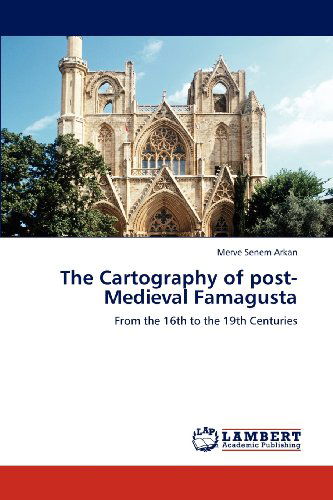
The Cartography of Post-medieval Famagusta: from the 16th to the 19th Centuries Merve Senem Arkan
Pasūtīts no attālās noliktavas
 Ziemassvētku dāvanas var atgriezt līdz 31. janvārim

Mūsu klienti saka:


The Cartography of Post-medieval Famagusta: from the 16th to the 19th Centuries
Merve Senem Arkan
Since the late 15th century, urban maps have illustrated with greater accuracy and reliability, detailed information about cities and towns. Such maps, in addition to offering the physical appearance of cities, have also given us an insight into the social and political contexts of the era. Cyprus, with its turbulent history, is no exception. Famagusta as a harbour city, in particular, has been occupied by various powers, in which time historical and cultural contexts of the city have changed and left behind material traces. However, maps do not always reflect the true image of a city similar to other historical sources they can be biased as well and so the researcher must tread with care. As the maps and history are interlinked with each other, as Famagusta changed, so too did the cartographic depictions of the city. In each period, various factors effected the changing representation of the city which will be examined in this thesis by analysing maps throughout history. This study concerns itself with the 16th-19th centuries and should contribute a deeper understanding to both historians of the time and place.
| Mediji | Grāmatas Paperback Book (Grāmata ar mīksto vāku un līmēto muguru) |
| Izlaists | 2012. gada 16. jūlijs |
| ISBN13 | 9783659182112 |
| Izdevēji | LAP LAMBERT Academic Publishing |
| Lapas | 124 |
| Izmēri | 150 × 7 × 226 mm · 203 g |
| Valoda | Vācu |
Skatīt visus Merve Senem Arkan