Pastāsti draugiem par šo preci:
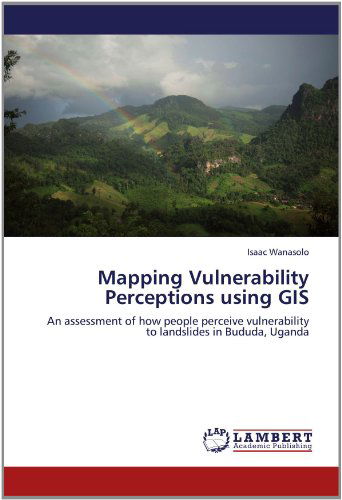
Mapping Vulnerability Perceptions Using Gis: an Assessment of How People Perceive Vulnerability to Landslides in Bududa, Uganda Isaac Wanasolo
Pasūtīts no attālās noliktavas
Mūsu klienti saka:


Mapping Vulnerability Perceptions Using Gis: an Assessment of How People Perceive Vulnerability to Landslides in Bududa, Uganda
Isaac Wanasolo
This book is about communication of people?s perceptions of vulnerability to landslides through GIS maps. How do people in risk prone areas perceive their vulnerability to landslides? How do their perceptions influence their response? It is generally believed that in light of a looming disaster, those who promote and regulate health and safety need to understand how people think about and respond to risk. This study communicates people?s perceptions through 3D GIS maps. People in Bududa are classified to have either High Risk Perception or Low Risk Perception based on their perceived knowledge of causes of landslides, level of risk fear, perceived household safety and willingness to move to safer locations.
| Mediji | Grāmatas Paperback Book (Grāmata ar mīksto vāku un līmēto muguru) |
| Izlaists | 2012. gada 4. jūnijs |
| ISBN13 | 9783659148286 |
| Izdevēji | LAP LAMBERT Academic Publishing |
| Lapas | 124 |
| Izmēri | 150 × 7 × 225 mm · 203 g |
| Valoda | Vācu |
