Pastāsti draugiem par šo preci:
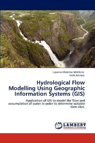
Hydrological Flow Modelling Using Geographic Information Systems (Gis): Application of Gis to Model the Flow and Accumulation of Water in Order to Determine Suitable Dam Sites. Fethi Ahmed
Pasūtīts no attālās noliktavas
 Ziemassvētku dāvanas var atgriezt līdz 31. janvārim

Mūsu klienti saka:


Hydrological Flow Modelling Using Geographic Information Systems (Gis): Application of Gis to Model the Flow and Accumulation of Water in Order to Determine Suitable Dam Sites.
Fethi Ahmed
Modelling of water flow is one of the techniques used in describing the movement of water and determining flow accumulation within a catchment. GIS enables modelling of spatial variability hence this book describes the determination of flow distribution and accumulation, estimation of runoff potential, and identification of suitable dam sites within a catchment in a GIS environment. ArcHydro extension of ArcGIS was used in the determination of flow distribution and subsequent catchment delineation while ArcCN-Runoff tool was used to determine the potential runoff based on land cover, soil type and amount of rainfall. Suitable dam sites, volume and the areas that would be submerged were then identified using other ArcGIS tools. Simulation of dam storage capacities has also proven to be effecient in GIS environment.
| Mediji | Grāmatas Paperback Book (Grāmata ar mīksto vāku un līmēto muguru) |
| Izlaists | 2012. gada 21. maijs |
| ISBN13 | 9783659110788 |
| Izdevēji | LAP LAMBERT Academic Publishing |
| Lapas | 104 |
| Izmēri | 150 × 6 × 226 mm · 173 g |
| Valoda | Vācu |
Skatīt visus Fethi Ahmed