Pastāsti draugiem par šo preci:
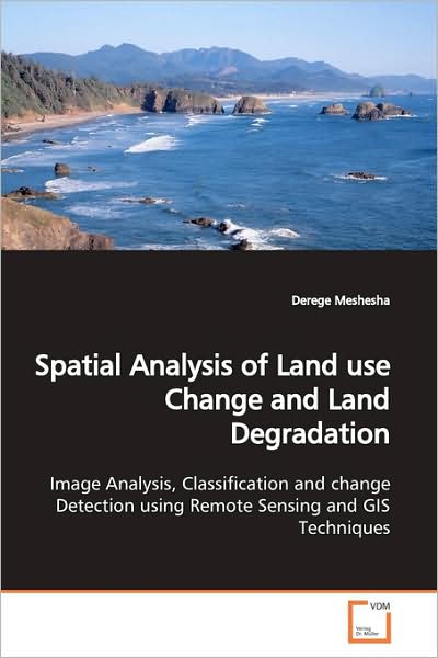
Spatial Analysis of Land Use Change and Land Degradation: Image Analysis, Classification and Change Detection Using Remote Sensing and Gis Techniques. Derege Meshesha
Pasūtīts no attālās noliktavas
Mūsu klienti saka:


Spatial Analysis of Land Use Change and Land Degradation: Image Analysis, Classification and Change Detection Using Remote Sensing and Gis Techniques.
Derege Meshesha
Landuse and landcover change is taken as a serious problem in changing the environment, which in turn, could lead to global climatic change and food security. This change could be the result of intricate interactions of socio economic and biophysical situation like economic, technological advancement, demography, and etc. This paper examines the changes in land use-cover types in the degraded environment of eastern Ethiopia over the last 20 years, and how such changes have influenced agricultural, local lakes and livelihoods sustainability, especially in the Alemaya district. Changes of land use-cover were measured through satellite image interpretations, while local perceptions and description of change were addressed through household interviews and field observations. The paternal analysis of the study using GIS and remote sensing technique, will be important indicator and guideline for sustainable resource utilization and management, which provides a basis for conservation and planning. Moreover, the methodology and approcahes used in the study will give a guide line for other researchers, who have similar interests.
| Mediji | Grāmatas Paperback Book (Grāmata ar mīksto vāku un līmēto muguru) |
| Izlaists | 2009. gada 14. jūnijs |
| ISBN13 | 9783639167368 |
| Izdevēji | VDM Verlag |
| Lapas | 88 |
| Izmēri | 150 × 220 × 10 mm · 140 g |
| Valoda | Angļu |