Pastāsti draugiem par šo preci:
Amiens Valenciennes Centenary Map - Michelin Historical Maps
Do you have a profile? Pierakstīties
Saņemiet paziņojumus par jauniem Michelin izdevumiem
Mūsu klienti saka:


Pievienot savam iMusic vēlmju sarakstam
Amiens Valenciennes Centenary Map - Michelin Historical Maps
Michelin
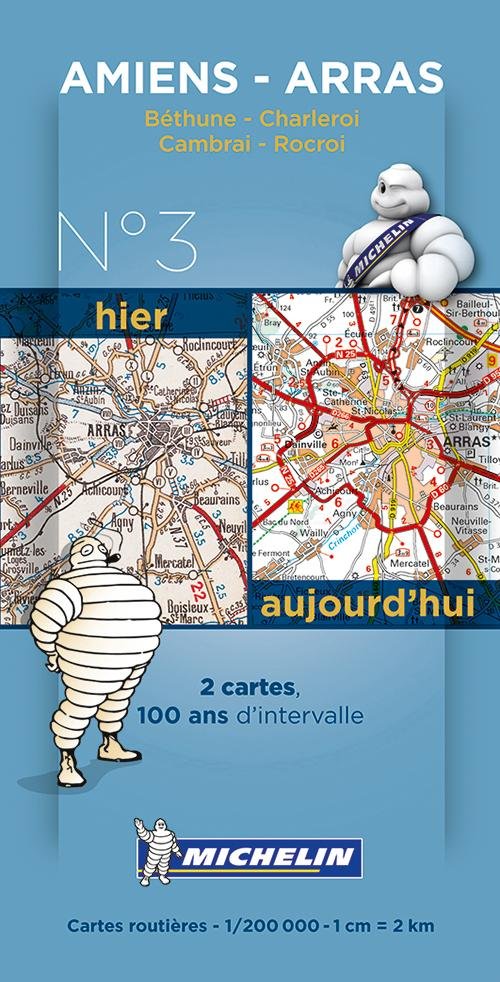
New and historical maps of Amiens - Arras in a smart plastic sleeve. Commemorating the 100th anniversary of the 1st World War and celebrating 100 years of its mapping scale 1/200,000, Michelin proudly introduces a new historical map collection. The Amiens - Arras centenary map includes a facsimile of early 20th century mapping and the same map from today, both scaled 1/200,000. This pack offers a unique view of what cities such as Amiens, Arras, Bethune, Charleroi, Cambrai and Rocroi looked like before the war and how they look like today.
Colour mapping
| Mediji | Grāmatas Book pack (Vairāku grāmatu komplekts) |
| Izlaists | 2014. gada 14. janvāris |
| ISBN13 | 9782067192164 |
| Izdevēji | Michelin Editions des Voyages |
| Izmēri | 220 × 224 × 220 mm · 500 g (Svars (aptuveni)) |
| Valoda | Franču |