Pastāsti draugiem par šo preci:
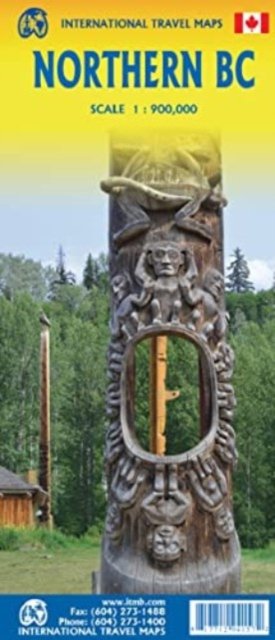
British Columbia Northern ITM Publications 1. izdevums
Cena
€ 14,99
Pasūtīts no attālās noliktavas
Paredzamā piegāde . gada 2. - 9. nov.
 Ziemassvētku dāvanas var atgriezt līdz 31. janvārim

Saņemiet paziņojumus par jauniem ITM Publications izdevumiem
Mūsu klienti saka:


Pievienot savam iMusic vēlmju sarakstam
British Columbia Northern
ITM Publications
Side 1 is of the western portion, including the Alaskan Panhandle, with the route followed by cruise ships heading north and clearly delineates the border between Canada and the USA. It also shows the Stewart Highway heading north towards the Yukon, with its branch leading to Hyder, Alaska, the only place in the USA that uses Canadian money and does all its banking in Canada. The second side covers the eastern half of BCs north, with the Alaska Highway starting in Dawson Creek and extending north to Fort Nelson before veering west into the eastern edge of the Rocky Mountains to the Yukon border.
1 pages
| Mediji | Grāmatas Map (Zemes vai jūras kartes) |
| Izlaists | 2023. gada 25. februāris |
| ISBN13 | 9781771294157 |
| Izdevēji | ITMB Publishing |
| Žanrs | Maps & Guides |
| Lapas | 1 |
| Izmēri | 249 × 105 × 12 mm · 56 g |
| Valoda | Angļu |